


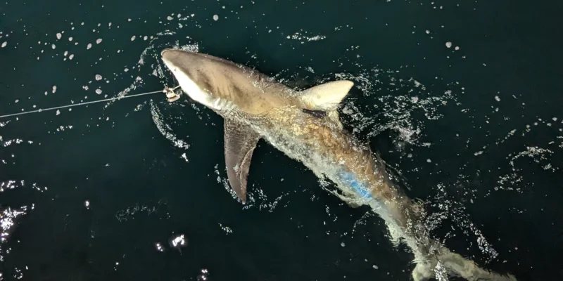
A new Open Access study in npj Climate and Atmospheric Science shows for the first time in a direct model test that measurement data from tagged sharks can improve seasonal ocean forecasts. In the retrospective experiments, the errors in the predicted surface temperature in individual dynamic ocean regions decreased by up to 40 percent.
The animals were not specifically directed along measurement routes. 18 blue sharks and a shortfin mako moved freely through the northwest Atlantic, recording depth and temperature with satellite transmitters. Because sharks often visit fronts, eddies and other dynamic areas, they collected data precisely where conventional measurement systems can have gaps.
8,242 temperature profiles from the Northwest Atlantic
The research team equipped the sharks with SPLASH-10 satellite transmitters near Cape Cod in October 2021. By April 2022, the 19 animals transmitted a total of 8,242 depth-temperature profiles with 58,947 coupled measurements. Together they had 2,635 transmitter-days.
The measuring points extended over around 20 degrees of latitude and 40 degrees of longitude in the Atlantic Ocean. The deepest dive recorded was 1,976 meters. The sensors registered temperatures between 3.9 and 33.9 degrees Celsius. The sharks not only provided positions on the surface, but also three-dimensional insights into the water column.
Some shark data went directly into the model
For the actual test, the researchers fed 1,329 of the profiles into monthly initializations of a seasonal climate model. They then compared predictions with and without shark data using satellite observations and established ocean reanalysis.
The effect was particularly clear in coastal, shelf and continental slope areas. There, temperature fronts and currents change on relatively small spatial scales, while a coarse-resolution model can only represent such processes to a limited extent. In individual comparisons, additional initialization with shark data reduced surface temperature error by up to 40 percent.
The effect sometimes remained noticeable for weeks to months, even though the profiles were only included in the model during short initialization windows. It wasn’t just the number of measurements that was important. In some months, a broader spatial distribution could be more important than many closely spaced profiles.
From the hurricane promise to the first model test
Haitauchen reported back in 2025 on the idea of using sharks as mobile data providers for better hurricane and weather forecasts. At that time, the main focus was on potential: long-distance migratory predatory fish should provide temperature data from parts of the ocean that are difficult to access.
The new work is an important step from this idea to a measurable result. However, it does not prove that the transmitter data has already been used to better predict a specific hurricane track or the intensity of an individual storm. Seasonal temperature forecasts for the ocean were tested. Such improved initial data could also support weather and storm models in the long term, but this requires further, targeted experiments.
Why sharks can complement conventional observing systems
Satellites primarily observe the ocean surface. Argo probes, research cruises and autonomous gliders provide data from the depths, but do not cover every dynamic coastal and shelf area equally well. Tagged animals can transmit additional profiles from areas they visit as part of their normal behavior.
Sharks do not replace these observing networks. Their value lies in complementing them. Data that is generated in ecological tagging projects could also be incorporated into ocean models after quality control. The researchers refer to international programs such as Animal Telemetry Network and AniBOS, which want to integrate animal data into global observation systems in the long term.
Not yet an operational forecasting system
The study is expressly a proof of concept. It uses data from just 19 sharks from one season and one ocean area. The model used works with a resolution of approximately one degree and cannot directly resolve many small-scale flow processes. In addition, the evaluations were run retrospectively and not as a daily operational forecast service.
For long-term use, more animals, longer time series, standardized sensors and a data pipeline that checks measured values in near real time and distributes them to weather and ocean services are needed. Only then can it be tested how reliably the approach works in different years and regions.
The first direct experiment still delivers a clear result: Sharks do more than document their own migration routes. Their dives can also close observation gaps in the ocean and measurably improve forecasting models.